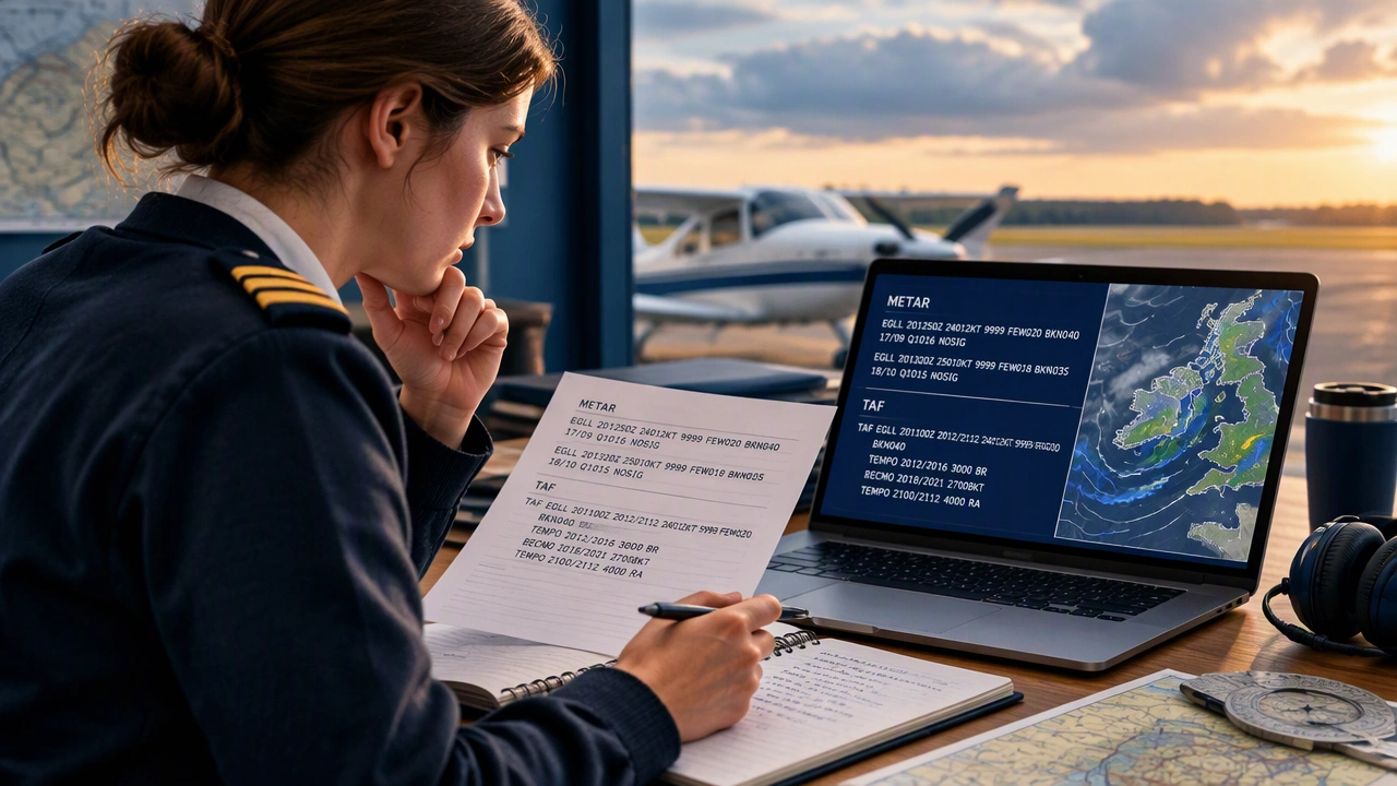
How to Read METAR and TAF Weather Reports: A Student Pilot’s Guide

Weather is one of the most important parts of flight planning, and learning how to read METAR and TAF weather reports is a key milestone in early pilot training. These reports may look like a wall of coded letters and numbers at first, but once you understand the structure, they become a fast and reliable way to check conditions at an airport. With a calm, step-by-step approach, any student pilot can learn to decode them with confidence.
What a METAR Actually Tells You
A METAR is a routine weather observation for an airport. Think of it as a snapshot of what the weather is doing at a specific time and place. It is not a forecast. It tells you what has already been observed, which makes it very useful for preflight planning and for understanding conditions near the runway.
A typical METAR includes the following information in a fixed order:
- Station identifier — the four-letter ICAO code for the airport, such as KJFK or EGLL
- Date and time — given in UTC, often called Zulu time
- Wind — direction in degrees and speed in knots, with gusts if present
- Visibility — usually in statute miles in the United States, or meters in many other countries
- Runway visual range (RVR) — when available, especially important for low-visibility operations
- Weather phenomena — things like rain, mist, fog, snow, or thunderstorms
- Sky condition — cloud layers described as clear, scattered, broken, or overcast, with heights in hundreds of feet above ground level
- Temperature and dewpoint — given in degrees Celsius
- Altimeter setting — the pressure setting used to calibrate the altimeter
- Trend or remarks — optional information that may describe rapid changes or other details
Breaking Down a Real-World Example
Suppose you see this METAR: KORD 141851Z 22012G20KT 3SM -RA BKN025 OVC040 17/13 A3001. Do not try to memorize everything at once. Instead, read it from left to right in small chunks.
- KORD is Chicago O’Hare.
- 141851Z means the 14th of the month at 1851 UTC.
- 22012G20KT means the wind is from 220 degrees at 12 knots, gusting to 20 knots.
- 3SM is three statute miles visibility.
- -RA means light rain.
- BKN025 is a broken layer at 2,500 feet AGL.
- OVC040 is an overcast layer at 4,000 feet AGL.
- 17/13 is a temperature of 17 degrees Celsius and a dewpoint of 13 degrees Celsius.
- A3001 is an altimeter setting of 30.01 inches of mercury.
Notice how the picture becomes clearer once you separate the pieces. The wind tells you about crosswind and gust potential. The visibility and weather phenomena help you decide whether conditions match your personal or training minimums. The cloud layers tell you where the ceilings are, which matters for traffic pattern work and approach planning.
What a TAF Adds to the Picture
While a METAR is an observation, a TAF is a forecast. It tells you what conditions are expected at an airport during a set period, often 24 to 30 hours ahead. A TAF is especially helpful when you are planning a flight a few hours in the future or deciding whether conditions will improve or deteriorate.
A TAF uses the same building blocks as a METAR, but it adds time ranges. For example, you may see groups that describe conditions from a starting time to an ending time. You will also see modifiers such as FM for a forecast becoming a new steady condition, BECMG for a gradual change, and TEMPO for temporary fluctuations within a period.
A simplified TAF example might look like this: TAF KORD 141730Z 1418/1524 21015G25KT 4SM -RA BKN030. Here, the forecast is valid from the 14th at 1800Z to the 15th at 2400Z, with southwesterly winds at 15 knots gusting to 25, four miles visibility in light rain, and a broken ceiling at 3,000 feet. If you see FM1422 later in the report, that tells you the conditions expected to become dominant from 2200Z onward.
Common Patterns Student Pilots Should Recognize
When you first learn how to read METAR and TAF weather reports, focus on the items that affect safety and decision-making most directly. In practice, student pilots often watch these patterns first:
- Wind direction and gusts — strong gusts or large crosswind components can make takeoffs and landings challenging
- Visibility and weather — mist, fog, rain, or snow can reduce visibility quickly
- Ceiling height — low ceilings affect traffic pattern options and approach choices
- Temperature and dewpoint spread — a small spread can signal fog or low cloud formation
- Altimeter setting — an accurate setting helps you fly altitudes and terrain clearances correctly
Over time, you will start to see how these elements work together. For example, falling visibility with a shrinking temperature-dewpoint spread often points toward fog developing near sunrise. Strong gusty winds behind a cold front can mean bumpy conditions in the pattern and higher crosswind technique demands on landing.
A Simple Study Routine That Works
One of the best ways to build confidence is to practice daily. Pick two or three airports you fly from often and read their METARs and TAFs each morning. Write out the decoded meaning in plain English. Compare what the TAF predicted with what the METAR later showed. This habit builds pattern recognition without pressure.
You can also practice during preflight. As part of your normal weather briefing, read the METAR aloud and explain each element to yourself or a fellow student. This turns a routine task into active learning. If you are training in an environment with rapidly changing weather, pay extra attention to BECMG and TEMPO groups in the TAF, because those often hint at the most operationally important changes.
Building Confidence, Not Just Knowledge
Aviation weather is not about memorizing every code at once. It is about understanding the structure, knowing what matters most for your flight, and building the habit of checking and interpreting reports in a calm, consistent way. As you progress in training, your ability to connect the METAR, TAF, and other products like radar and PIREPs will grow. That connection is what turns raw data into good aeronautical decision-making.
Start small, decode a little more each day, and keep your focus on the items that affect safety most. With steady practice, how to read METAR and TAF weather reports will shift from feeling like a puzzle to feeling like a normal part of being a prepared, confident pilot.